


Connemara national park

domifon
Gebruiker
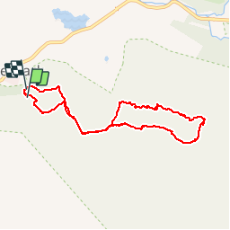

Lengte
7,3 km
Boucle
Ja
Datum van aanmaak :
2019-03-24 10:40:00.0
Laatste wijziging :
2019-03-24 13:11:50.838
2h29
Moeilijkheid : Moeilijk

Gratisgps-wandelapplicatie
 SityTrail
IGN / Geografische instituten
SityTrail Plus
De wereld gaat voor u open
Over ons
Tocht Stappen van 7,3 km beschikbaar op Onbekend, County Galway, Conamara Municipal District. Deze tocht wordt voorgesteld door domifon.
Beschrijving
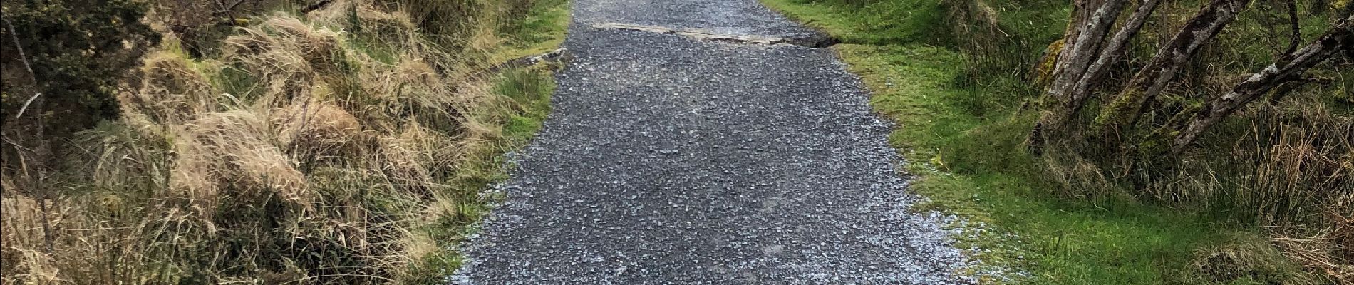
Exceptionnel
Foto's


Plaatsbepaling
Land:
Ireland
Regio :
Onbekend
Departement/Provincie :
County Galway
Gemeente :
Conamara Municipal District
Locatie:
Ballynakill ED
Vertrek:(Dec)
Vertrek:(UTM)
437403 ; 5933918 (29U) N.
Opmerkingen